The Tamagawa Josui 玉川上水 (River Tama Aqueduct) is a freshwater canal that originally ran from Hamura 羽村 in western Tokyo to Yotsuya Okido 四谷大木戸, a distance of 43 kilometers. The canal is not used anymore, and the stretch nearest the city runs largely underground, but the entire length has been turned into a public park and designated a "Green Road."
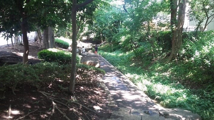
The canal side path makes for an interesting walk from the mountains to the heart of the city. It is largely shaded by trees, offering some respite from the heat of summer, and is a haven of peace and tranquillity at any time of year.
The Tamagawa Josui was built in the Edo period. Edo (modern-day Tokyo) grew rapidly after it became the capital of Japan in the early 1600s. The country's new rulers, the Tokugawa Shogunate, needed to provide a supply of fresh drinking water to the capital.
The seawater in Tokyo Bay was too salty to drink, and the rivers that flowed through the city, into which households and businesses emptied their sewage, were too polluted.
So, in 1653, the Shogunate decided to build a waterway that would carry water from the Tama River all the way to Edo Castle (today's Imperial Palace). It would also provide farmers in the towns and villages along the canal with irrigation water and the city's firefighters with water for putting out fires.
Responsibility for construction was delegated to two brothers, members of a humble rice farming family. Being farmers, Shoemon 庄右衛門 and Seiemon 清右衛門 knew a thing or two about waterways. All the same, running a channel 43 km over terrain that drops only 93 meters over its length was no mean feat.
Under the brothers' leadership, the digging project proceeded remarkably quickly. They made it clear to their army of workers that the canal was a communal project that would benefit everyone. The cuttings for the canal from Hamura to Yotsuya Okido were completed in just eight months - quite amazing when you consider they covered a distance of 43 kilometers.
The shogun was so impressed by the brothers' work that he elevated them into the ranks of the bushi 武士, the aristocratic warrior caste. They now had special privileges, such as the right to a family name - the shogunate named them Tamagawa 玉川 - and the right to carry swords.

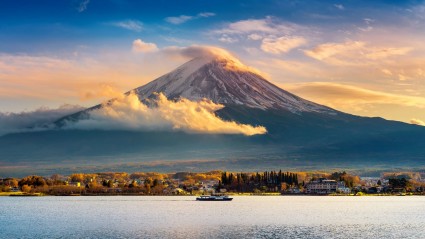
If you travel out to Hamura station 羽村駅 on the JR Ōme Line 青梅線, it's only a short walk to the starting point of the Tamagawa Josui. There, the freshwater canal is still in use today. The Tama River collects most of its waters from the clear streams of the mountains in what is today the Chichibu-Tama-Kai National Park 秩父多摩甲斐国立公園, west of Tokyo. It is still a vital Tokyo water supply route, so it is fenced in and there's not much to see.
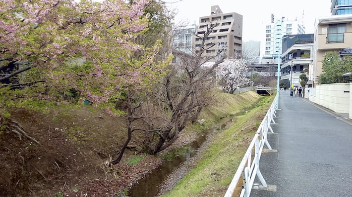
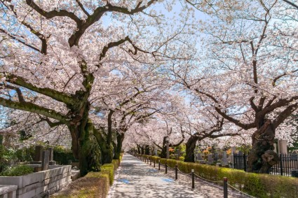
You can walk or cycle along the Tamagawa Josui from Hamura to Fussa 福生, Tachikawa 立川, Mitaka 三鷹, Sasazuka 笹塚 and Shinjuku 新宿. The route remains a stretch of wild green even as it crosses through residential areas. It passes through Inokashira Park 井の頭公園, home of the Ghibli Museum and famous for its many cherry trees.
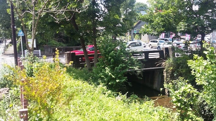
Soon after entering Tokyo proper in Suginami Ward 杉並区, it disappears under the Chuo Expressway 中央自動車道, but reappears as a waterless "Green Road" between Kami Kitazawa station 上北沢駅 and Shimotakaido station 下高井戸駅 (both on the Keio Line 京王線).
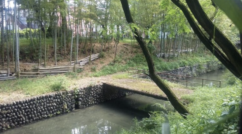
Close to Daitabashi station 代田橋駅 (also on the Keio Line), the canal comes to the surface again. By now, it's a rather small stream, flanked by a narrow park. Passing by Sasazuka station, it goes underground again a few hundred meters south of the station, but the Green Road continues to follow the old route of the canal to Shinjuku.
In Shibuya Ward 渋谷区, the streets crossings the route of the former canal are still marked as bridges, with memorial markers that spell out the names of the bridges that used to cross it. The long, winding stretch of park ends just east of today's Shinjuku Gyoen Park 新宿御苑.
Read more stories from grape Japan.
-- Strike a yuzu scent with new Japanese aroma matchstick-style incense
-- Fight food loss and save money with Japan’s new Toku Pochi paid membership service
-- The street art scene in Tokyo
- External Link
- https://grapee.jp/en/


2 Comments
Login to comment
Spitfire
Awesome story.
Thank you very much for this!