Photographers take pictures of DIWATA-1, the Philippines' first micro-satellite for multi-spectral high precision Earth observation, during a media tour at the Japan Aerospace Exploration Agency (JAXA) Tsukuba Space Center in Tsukuba, on Wednesday.
© Japan Today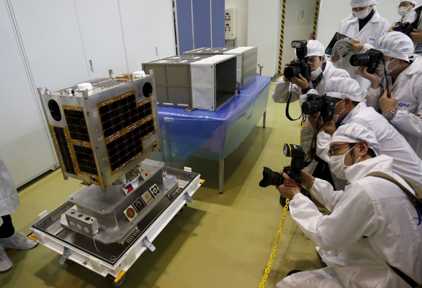
Headed for orbit
©2024 GPlusMedia Inc.


5 Comments
Login to comment
WealthBuilderBiz
MABUHAY! (Long Live)
Citizen2012
Another WebCam pointed to earth and earthling.
sn00z3
Like
gogogo
"national security"
papigiulio
Or in layman terms:
"Diwata can examine landmass with an accuracy of about 5 meters. It can be used for disaster management purposes such as in accessing damage from typhoons and rainstorms. It will also have applications in agriculture, forest cover monitoring and national security"